
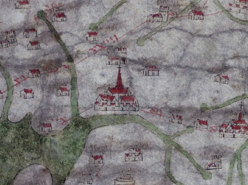
The Gough Map is a map of the island of Great Britain, dating between 1355 and 1366 CE. It is supposedly the oldest surviving road map of Great Britain. You can browse the map online. Below I have cut out the piece showing Chester. The little place to the SW is Liverpool. And Manchester just does not exist. The red lines are roads. You can see that there was a river crossing at Chester even before the Old Dee Bridge was built around 1387.


No comments:
Post a Comment